| Directions
Just east the village of Star Lake
on NY 3, there is a road that leads into the hamlet of
Wanakena. There are several trails here that lead
to High Falls.
|
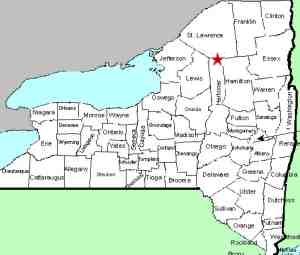
| County: |
St. Lawrence |
| Town: |
Fine |
| USGS Map: |
Five Ponds |
| Waterway: |
Oswegatchie River |
| Latitude: |
N 44°
04' 07" |
| Longitude: |
W 74°
54' 37" |
| Drop: |
15' |
| Type: |
Ribbon cascade |
| Region: |
Southeast of Star
Lake |
| Parking: |
Unpaved lot |
| Trail type: |
Dirt |
| Length of hike: |
6+ miles |
| Difficulty: |
Difficult |
| Accessibility: |
Public |
| Name: |
Official |
|
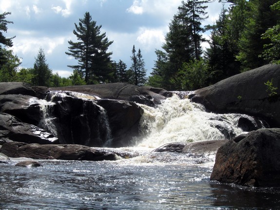
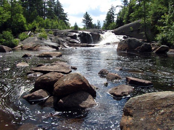
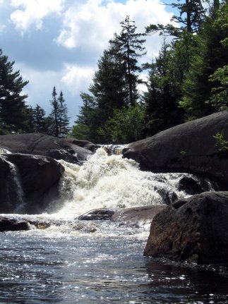
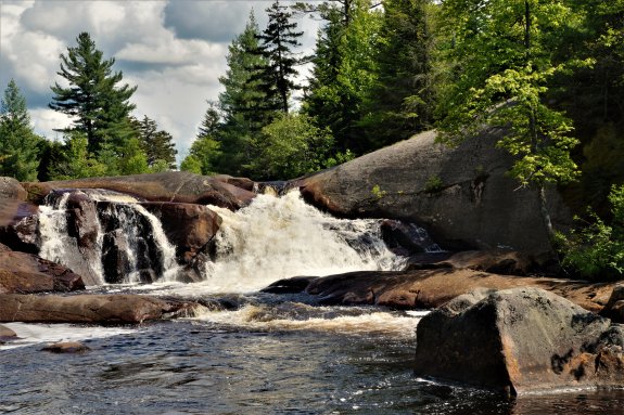
At only fifteen feet,
High Falls is not that tall a waterfall. It got its name
because it is actually the largest drop on the main branch of the
Oswegatchie River. It is also the most remote of any St. Lawrence
County waterfall. The shortest trail in to it is 6 miles,
one-way. There are a number of trails leading to it and it is also possible
to canoe to the location, but this is such a long paddle that it
would require an overnight stay. This location is about 1300'
from the Herkimer County line.
Our thanks to Alice Galvin who lives in this area. She
submitted photos of the waterfall and also told us that they took
a boat to Janack's Landing on Cranberry Lake and hiked to High Falls
from there. "It made the trip much shorter and more manageable
than hiking all the way from Wanakena."
The Oswegatchie River flows into the St. Lawrence River in Ogdensburg,
New York.
Last update: July 14, 2018
|