| Directions
Just southwest of Harrisville, NY 3
and NY 812 meet. Two miles south of this
corner on NY 812, the Kimball's Mills Road will exit
east. On some maps, this may be shown as the Pigtown
Road. A bridge crosses the Oswegatchie West
Branch 1.1 mile from 812. Park on the roadside.
|
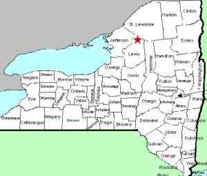
| County: |
Lewis |
| Town: |
Diana |
| USGS Map: |
Remington Corners |
| Waterway: |
Oswegatchie River
West Branch |
| Latitude: |
N 44° 05' 10" |
| Longitude: |
W 75°
21' 34" |
| Drop: |
~10' |
| Type: |
Slides |
| Region: |
South of Harrisville |
| Parking: |
Roadside |
| Trail type: |
Dirt |
| Length of hike: |
1/10 mile |
| Difficulty: |
Easy |
| Accessibility: |
Public |
| Name: |
Common |
|
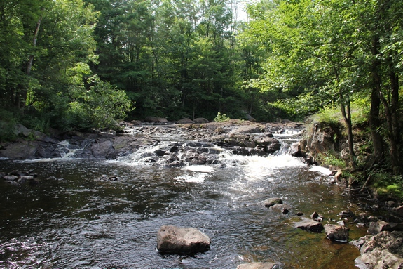
Much of the road leading to this location is not paved. There are actually four falls at this point.
On our first trip here, it was no problem hiking the trail
downstream. The last time we were there, the trail had
become so overgrown that it was a significant bushwhack.
Falls #1 is about 1/10
of a mile downstream from the bridge. It is a drop of about 8 to 10'.
Falls #2, a 6 to 8' drop, is located just downstream of the bridge.
You will pass it on your way to Falls #1.
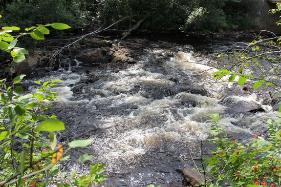
Falls #3 and 4, which are larger falls, are located about 1/4
mile upstream from the bridge. The trails to these are not
clear and bushwhacking is in order. According to our
information, the easiest hike is actually up the river bed, but
we have not yet attempted this route.
If you enjoy trout fishing, you may want to bring your gear with
you on this hike. We have been told it is a great location.
The West Branch of the Oswegatchie joins the main channel a few
miles downstream, just west of the hamlet of Talcville in the town
of Edwards. This then flows to the St. Lawrence River in Ogdensburg.
Last update: June 28, 2017
|