| Directions
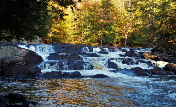
Just southeast of the hamlet of Edwards,
the South Edwards Road exits the west side of NY 58.
A short distance down this road, there is a bridge across
the Oswegatchie River. This waterfall is just
upstream from here.
|
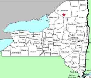
| County: |
St. Lawrence |
| Town: |
Edwards |
| USGS Map: |
South Edwards |
| Waterway: |
Oswegatchie
River |
| Latitude: |
N 44°
16' 14" |
| Longitude: |
W 75°
11' 59" |
| Drop: |
12' |
| Type: |
Rectangular Cascade |
| Region: |
Southeast
of Edwards |
| Parking: |
Roadside |
| Trail type: |
Water
access |
| Length of
hike: |
0.4 mile,
one-way |
| Difficulty: |
Easy |
| Accessibility: |
Private |
| Name: |
Common |
|
This waterfall is on private property. Otherwise, it is
only accessible by paddling up the river.
The Oswegatchie River flows to the St. Lawrence River in the
city of Ogdensburg.
Last update: October 4, 2017
|