| Directions
Take the Belfort Road from the village
of Croghan to the hamlet of Belfort. Then follow
the Long Pond Road and turn left when you come to the
Bisha Road. Go to the end of this road and you
will find a parking lot with a NYS DEC sign noting that
it is the West Branch Oswegatchie Fishing Access Site,
lot 11960.
|
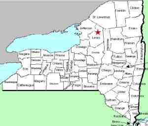
| County: |
Lewis |
| Town: |
Croghan |
| USGS
Map: |
Remington
Corners |
| Waterway: |
Oswegatchie
River West Branch |
| Latitude: |
N
44° 00' 10" |
| Longitude: |
W
75° 16' 02" |
| Drop: |
~20' |
| Type: |
Slide |
| Region: |
East
of Croghan |
| Parking: |
Unpaved
lot |
| Trail
type: |
Dirt |
| Length
of hike: |
0.7
mile, one-way |
| Difficulty: |
Easy |
| Accessibility: |
Private,
by agreement |
| Name: |
Common |
|
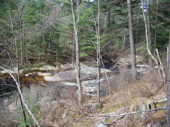
This location is not indicated
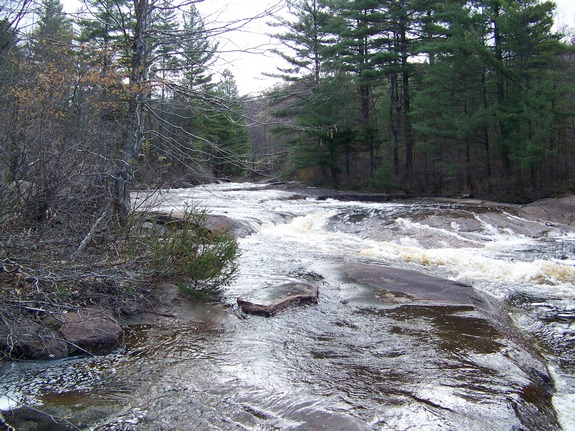
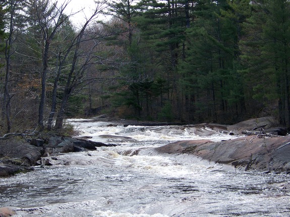
on USGS topographical maps. It would be more accurate to describe
this as a stretch of rapids, but it is known locally as Shingle
Mill Falls. In the late 1800s, a shingle mill, operated by
partners Louis V. Bisha and Joseph Yancey, stood at this location.
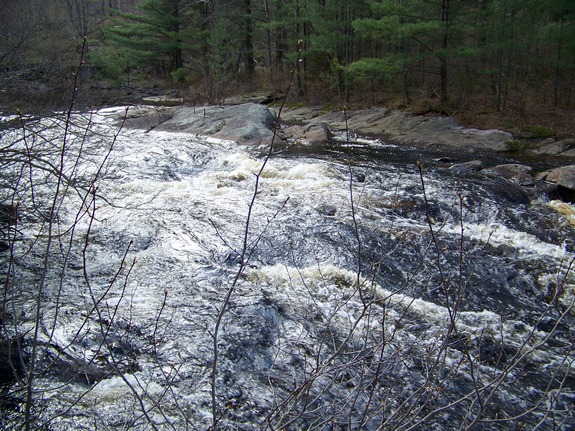
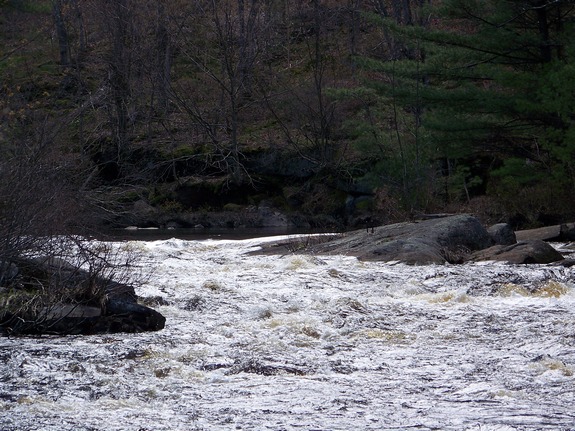
We refer to falls of this type as slide falls, because they somewhat
resemble a natural waterslide. In these types of falls, there
is a considerable vertical drop, but it occurs over a significant
horizontal run.
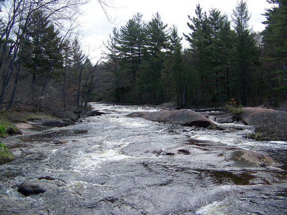
Note that the area you will be hiking is private land and posted,
but it is a Conservation Easement Public Recreation Area.
Public access is allowed along the river. Go past the gate
past the parking lot into an area known as Long Level and bear left.
Follow the yellow Public Fishing Foot Path signs that mark the trail.
At about 0.7 of a mile down the trail you will come to Shingle Mill
Falls. There used to be a bridge across the river at this
point but it washed away in high water a number of years ago and
budgetary constraints have prevented its replacement.
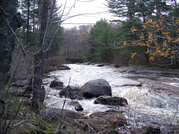
At this point, you are less than a quarter mile from
High Falls, a very impressive
50' plunge downstream.
The West Branch of the Oswegatchie joins the main channel a few
miles downstream, just west of the hamlet of Talcville in the town
of Edwards. This then flows to the St. Lawrence River in Ogdensburg.
Note: This area should not be confused with the other Shingle
Mill Falls in Lewis County. This waterfall is much more popular and is located in the town of Greig in the southeastern corner
of the county.
Last update: November 4, 2016
|