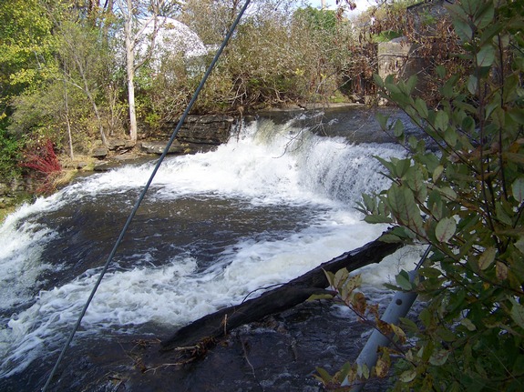
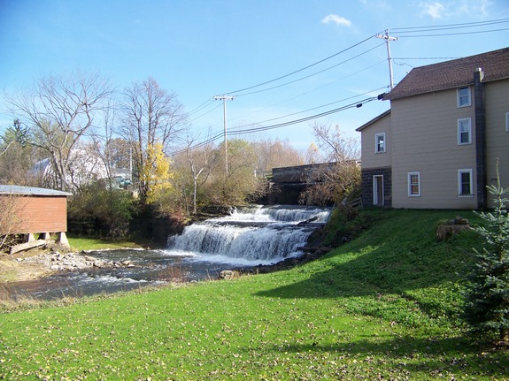
Another one of the hundreds
of falls in northern New York that are unnamed, these falls are
located in the village of Evans Mills. You can park anywhere
on the street in this area. The best view of this waterfall
is from behind the municipal building which is on village land. Another one of the hundreds
of falls in northern New York that are unnamed, these falls are
located in the village of Evans Mills. You can park anywhere
on the street in this area. The best view of this waterfall
is from behind the municipal building which is on village land.
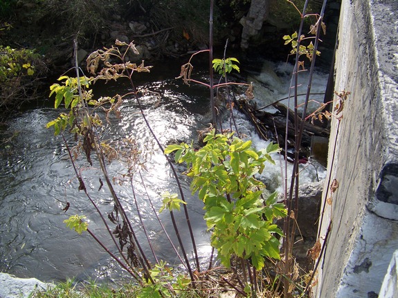
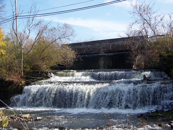
Many towns with "Mills" in their name were so named
from a mill or plant that was built there back when the town was
settled. Often, the falls at that location provided waterpower
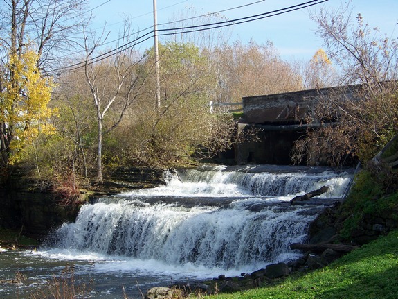
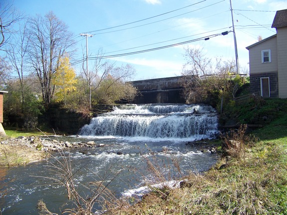
for the operation. These falls are nestled under a bridge
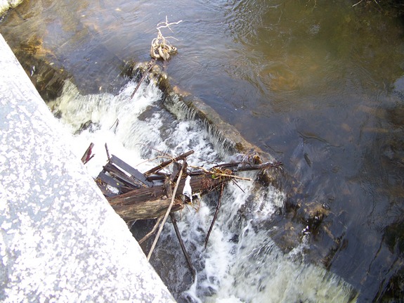
and can't be seen from a vehicle on the road. Thousands of
people have probably driven right over them without knowing of their
existence. They step down in three drops. The first
drop is just upstream from the side of the bridge. The other
two drops can be seen on the other side of the bridge. Although
technically unnamed, we have also seen these falls referred to as
Evans Mills Falls and The Falls at Evans Mills.
The name of this waterfall is now official, having been added
to the GNIS data base on November 9, 2017.
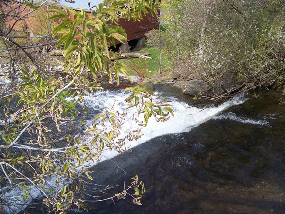
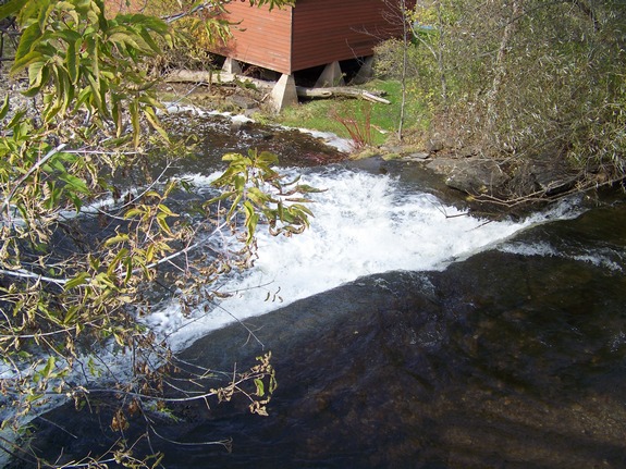
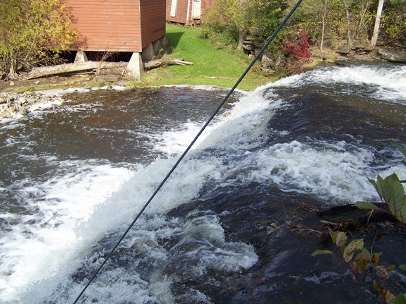
An alternative view of this waterfall can be had from the bridge
that crosses the creek over them. Go back up the street and
take the first left. The bridge is about 350' up North Main
Street. Although there is a pathway the parallels the south
side of the creek and leads to the side of the falls, it appears
that this is on private property.
The last photograph in this display is a copy of an old postcard
of these falls. This came from the collection of Scott A.
Ensminger of
falzguy.com and is dated 1911.
The Pleasant Creek flows into the West Creek in Evans Mills and
then enters the Indian River a short distance further downstream.
It continues through Black Lake and then empties into the Oswegatchie
River just a few miles upstream from where the Oswegatchie enters
the St. Lawrence River.
Last update: November 14, 2017
|