| Directions
There is an intersection just east of
where NY 56 crosses the Raquette River in South Colton.
Follow this northeast and immediately bear left on the Raquette River Road.
Follow this for about seven miles where you should turn
left on the Blake Road.
|
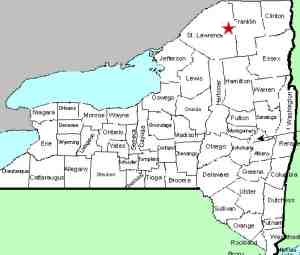
| County: |
St. Lawrence |
| Town: |
Colton |
| USGS Map: |
Sylvan Falls |
| Waterway: |
Raquette River |
| Latitude: |
N 44° 30'
08" |
| Longitude: |
W 74°
44' 45" |
| Drop: |
NA |
| Type: |
Dam |
| Region: |
East of Colton |
| Parking: |
Roadside |
| Trail type: |
Roadside |
| Length of hike: |
1 minute |
| Difficulty: |
Easy |
| Accessibility: |
Public |
| Name: |
Common |
|
This facility is at the end of the dead-end Blake Road.
Blake Falls is another of the power dam/power plant locations along
the Raquette River. There is no longer a waterfall here.
Brookfield Power also runs this facility. The dam here
holds back the Blake Falls Reservoir. For the sake of accuracy,
the dam is on the Sylvan Falls topographical quadrangle, but the
plant operating there is just over the line in the Rainbow Falls
quadrangle.
The Raquette River empties into the St. Lawrence River in Massena,
New York.
Last update: June 12, 2016
|


