| Directions
This site is located near the end of the
Carry Falls Road, which is off the Stark Road. Between
the hamlet of South Colton and the intersection with NY
3 at Sevey Corners, NY 56 runs through a fairly remote region.
Fairly distant from any sizable community, the Stark Road is one of the few
paved roads that exits east from NY 56.
|
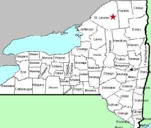
| County: |
St.
Lawrence |
| Town: |
Colton |
| USGS
Map: |
Stark |
| Waterway: |
Raquette
River |
| Latitude: |
N
44° 27' 3" |
| Longitude: |
W
74° 45' 59" |
| Drop: |
20' |
| Type: |
Dam |
| Region: |
East
of Colton |
| Parking: |
Roadside |
| Trail
type: |
Roadside |
| Length
of hike: |
Roadside |
| Difficulty: |
Easy |
| Accessibility: |
Public |
| Name: |
Common |
|
Once on the Stark Road, the Carry Falls Road will be the first
right. Unpaved and a dead-end, you can't miss this location.
Having said that, and now that you know how to get there, you have
most of the picture. There is little more to say and even
less to see. It is a fairly large power dam and there is a
picnic area and river access for canoeing and kayaking. There
is, however, absolutely nothing left of the waterfall that once
existed at this location.
The dam at this site, operated by Brookfield Power, holds back
a region known as Carry Falls Reservoir. This dam, completed in
1953, was the first completed in the Raquette River Power Development
Project. This project was started by the Niagara Mohawk Power
Corporation in 1951.
The Raquette River empties into the St. Lawrence River in Massena,
New York.
Last update: June 13, 2016
|


