| Directions
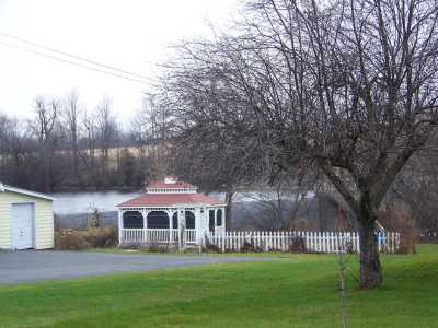
This dam is visible with limited views
from NY 56 in the village of Norfolk.
|
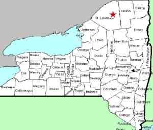
| County: |
St. Lawrence |
| Town: |
Norfolk |
| USGS Map: |
Norfolk |
| Waterway: |
Raquette River |
| Latitude: |
N 44°
47' 41" |
| Longitude: |
W 74°
59' 09" |
| Drop: |
NA |
| Type: |
Dam |
| Region: |
Southwest of Massena |
| Parking: |
Roadside |
| Trail type: |
Roadside |
| Length of hike: |
Roadside |
| Difficulty: |
Easy |
| Accessibility: |
Public |
| Name: |
Common |
|
We were there on a November day when there was very little water
flowing over this dam. We hope to get back at a later date
for better pictures.
We do not have any information as to whether there was a waterfall
here before the dam was built.
The Raquette River empties into the St. Lawrence River in Massena,
New York.
Last update: August 13, 2016
|