| Directions
The Raquette River Road more or less parallels
the Raquette River. Starting just east of the
hamlet of South Colton, it runs for several miles.
The Rainbow Falls Power Dam is on your left a few miles
up this road.
|
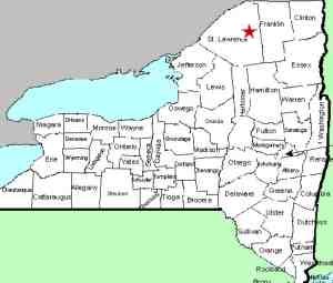
| County: |
St. Lawrence |
| Town: |
Parishville |
| USGS Map: |
Rainbow Falls |
| Waterway: |
Raquette River |
| Latitude: |
N 44° 31'
04" |
| Longitude: |
W 74°
49' 18" |
| Drop: |
NA |
| Type: |
Dam |
| Region: |
Off NY 56, just
east of South Colton |
| Parking: |
NA |
| Trail type: |
NA |
| Length of hike: |
NA |
| Difficulty: |
NA |
| Accessibility: |
Private |
| Name: |
Official |
|
Waterfalls have been classified in many ways. There are
classic falls, curtain falls, ribbon falls and many other terms
almost too numerous to mention. This site is a usetoba waterfall.
That is pronounced "used to be a"! One of the dozens
of power dams that now dot the Raquette River, there is no longer
a waterfall here.
We do know that in this case, there once was a waterfall here,
but the construction of the dam has totally eliminated it.
It is one of two Rainbow Falls in St. Lawrence County, both of them
listed on the USGS GNIS data base.
This facility, which is run by Brookfield Power is a fairly large
powerdam, but from a waterfall perspective, there is nothing to
see here. The dam here contains the Rainbow Falls Reservoir
which is covers a significant stretch of the river. This dam,
built by the Niagara Mohawk Power Corporation was completed in 1956.
The Raquette River empties into the St. Lawrence River in Massena,
New York.
Last update: August 25, 2016
|


