| Directions
From NY 3 in Tupper Lake, drive 2.8 west
from the corner by the Holy Name Church. There is
a road to the left that you should take until its end.
|
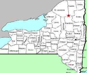
| County: |
St. Lawrence |
| Town: |
Piercefield |
| USGS Map: |
Piercefield |
| Waterway: |
Raquette River |
| Latitude: |
N 44°
14' 02" |
| Longitude: |
W 74°
31' 46" |
| Drop: |
NA |
| Type: |
Dam |
| Region: |
West of Tupper
Lake |
| Parking: |
NA |
| Trail type: |
NA |
| Length of hike: |
NA |
| Difficulty: |
NA |
| Accessibility: |
Unknown |
| Name: |
Common |
|
We have not yet been to this location. our information
has been taken from maps. We do not know if the road indicated
in the directions side-bar is publicly accessible or if it will
take you to this location.
If anyone has any information or pictures of this location, please
contact us.
We do not have any information as to whether there was a waterfall
here before the dam was built.
The Raquette River empties into the St. Lawrence River in Massena,
New York.
Last update: August 25, 2016
|


