| Directions
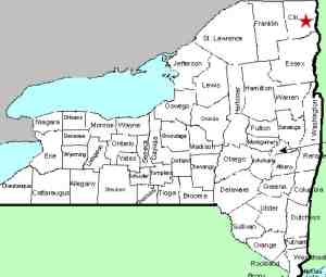
Schuyler Falls is located in the town
and hamlet of the same name, just west of Plattsburgh.
NY 22B is the main north-south route through town.
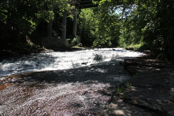
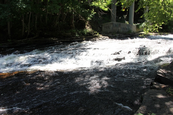
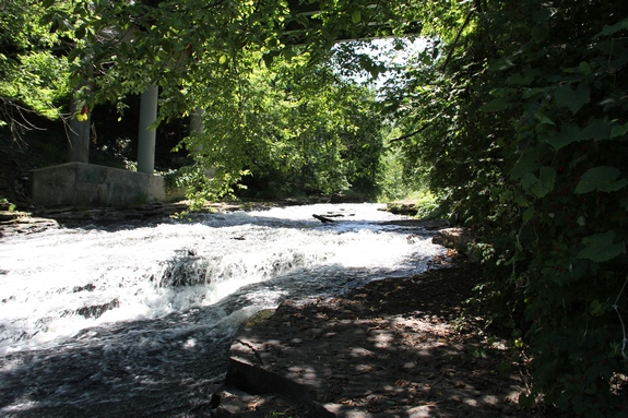
The waterfall is under the
bridge across the Salmon River.
|
|
County: |
Clinton |
|
Town: |
Schuyler Falls |
|
USGS Map: |
Morrisonville |
|
Waterway: |
Salmon River |
|
Latitude: |
N 44° 37' 46" |
|
Longitude: |
W 73° 33' 29" |
|
Drop: |
~8' |
|
Type: |
Slide |
|
Region: |
Just west of Plattsburgh |
|
Parking: |
Roadside |
|
Trail type: |
Roadside |
|
Length of hike: |
1 minute |
|
Difficulty: |
Easy |
|
Accessibility: |
Private |
|
Name: |
Common |
|
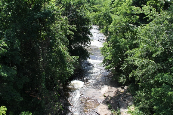
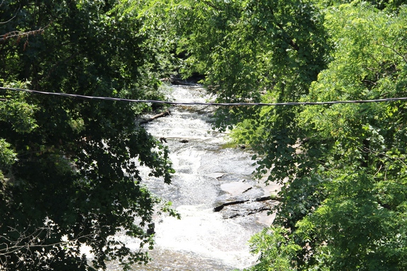
On our first trip to view this waterfall, we were able to
park on the edge of 22B and walk to the water's edge and take
pictures. On a return trip on May 5, 2016, we found a
different situation. We could see posted signs as we
looked down toward the properties along the river. We
drove down a side street that took us to the area by the river
and found that all of the homes along that stretch by the
waterfall have posted signs of one kind or another there.
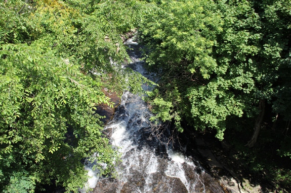
Limited views can still be had from above but neither the
view or the photo opportunities are very good.
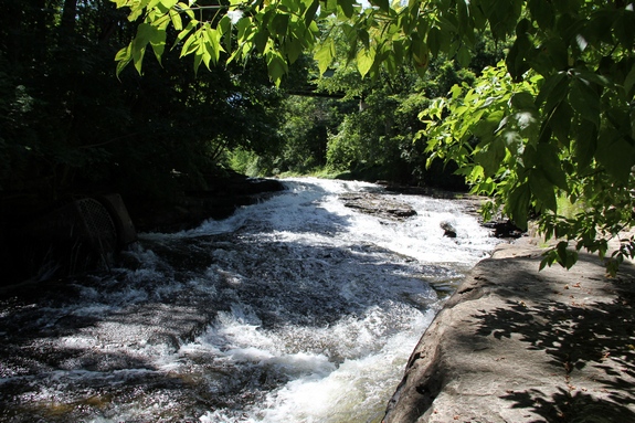
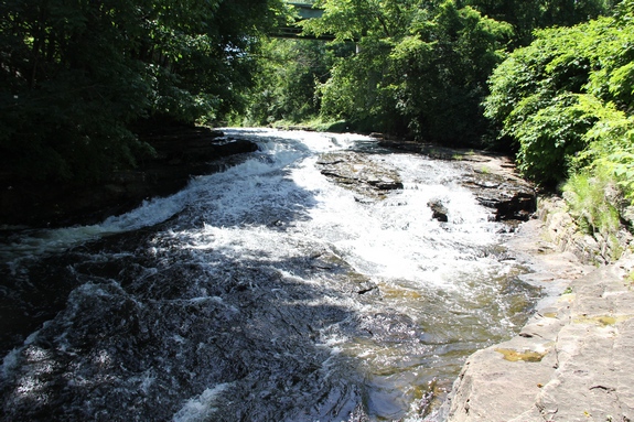
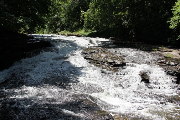
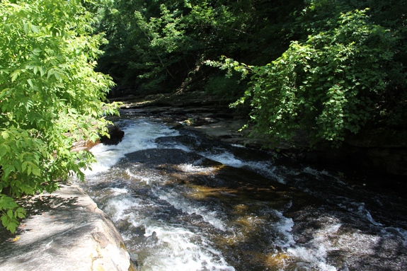
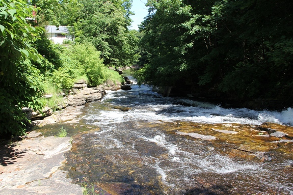
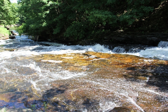
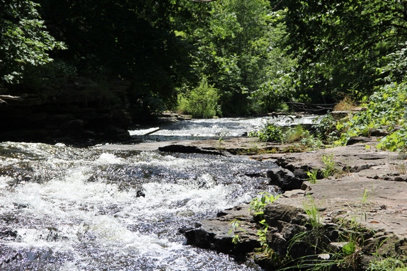
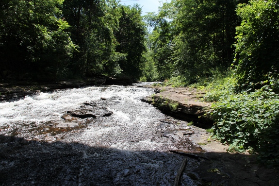
As for the waterfall itself, the river is going through a steady descent.
There is a long span of rapids before and after this small plunge
just below the bridge.
The Salmon River empties into Lake Champlain just south of the
city of Plattsburgh.
|