| Directions
We have changed our directions to this location
because the last time we were there, the bridge by this
waterfall was gone and being reconstructed. In
downtown Malone, from Main Street/US 11, there is a
sharp intersection just west of the Salmon River bridge.
As soon as you take this corner, turn left on Duane
Street. This will become CR 25. In the
hamlet of Chasm Falls, continue straight and you will
come to the bridge at the top of the hill. Chasm
Falls and the hydro project is on the right.
|
| County: |
Franklin |
| Town: |
Owl's Head |
| USGS Map: |
Malone |
| Waterway: |
Salmon River |
| Latitude: |
N 44°
44' 45" |
| Longitude: |
W 74°
13' 23" |
| Drop: |
125' |
| Type: |
Slide |
| Region: |
Off NY 30 just
south of Malone |
| Parking: |
Roadside |
| Trail type: |
NA |
| Length of hike: |
NA |
| Difficulty: |
Easy |
| Accessibility: |
Private |
| Name: |
Common |
|
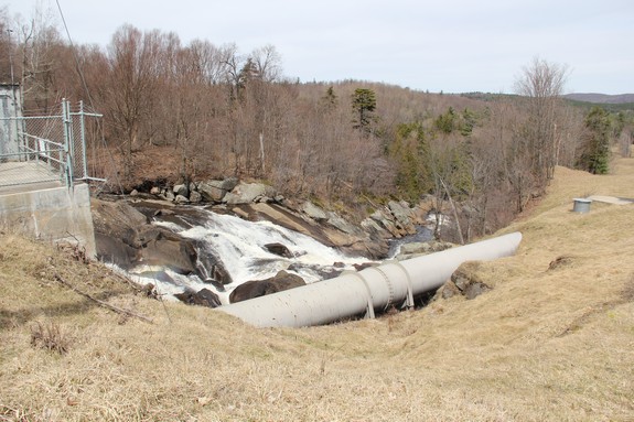
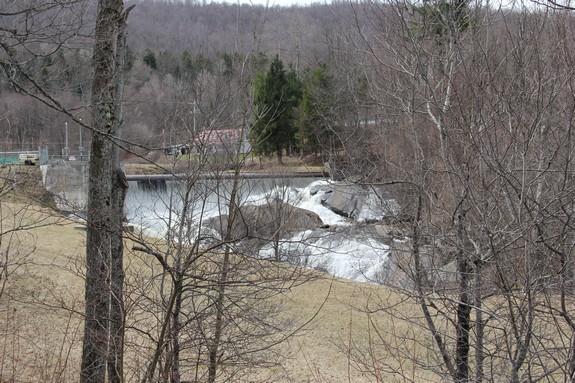
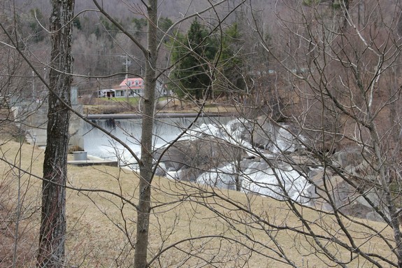
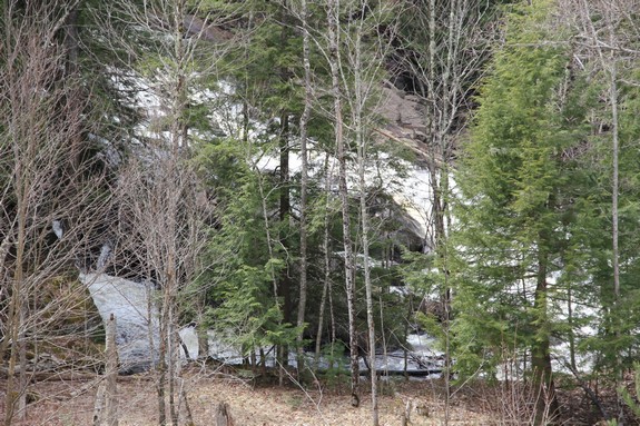
 Brookfield Power now operates
a hydro-electric facility at Chasm Falls, but there is still a significant
waterfall below the dam. You can get a limited view from the
parking area next to the hydro facility, but this entire area, including
the roadside downstream is posted. You can tell as you look
down the embankment that it is a long way down. Brookfield Power now operates
a hydro-electric facility at Chasm Falls, but there is still a significant
waterfall below the dam. You can get a limited view from the
parking area next to the hydro facility, but this entire area, including
the roadside downstream is posted. You can tell as you look
down the embankment that it is a long way down.
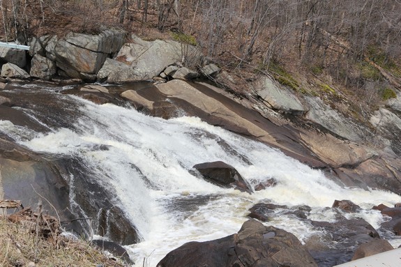
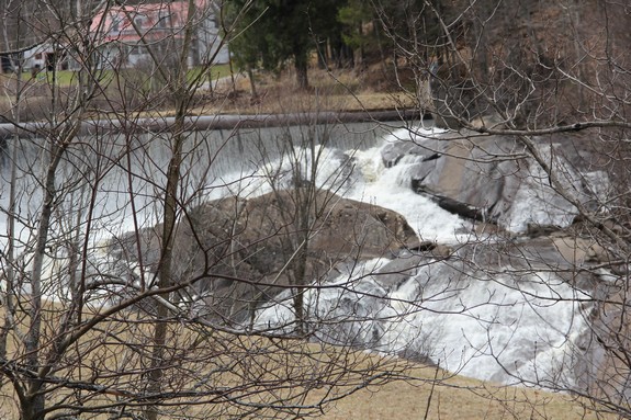
The river bed through these falls is like one huge boulder.
The water slides down about a 45 degree angle as it drops off at
least 50 feet. Then it goes through a chasm, flume-like section.
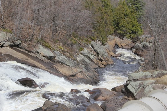
As it descends several more steps, it goes through the rocks and
an "S" shaped section.
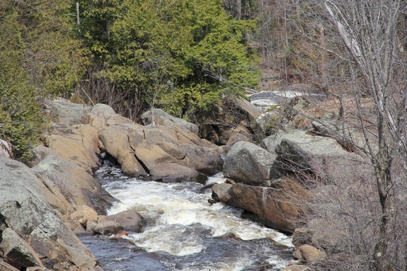
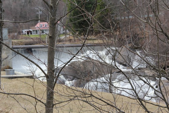
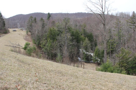
There is a left turn just past the parking area and the road
goes through a series of esses as it goes down the hill. From
an area near the first bend, you can get a fairly good, albeit distant
view of the top of the falls. Continuing down the hill, just
beyond the end of the guard rails, you can see the lower section
of the falls through the foliage. Again, these are distant
views, but it does show that this area drops significantly through
a series of steps and slides over quite a stretch of the river.
Because this entire section is posted, you are not going to get
any closer.
The Salmon River flows north into Canada and then empties into
the St. Lawrence River.
Last update: August 16, 2017
|