| Directions
From the village of Adams, proceed
west on NY 178. Follow the signs to Belleville on NY
289. In this hamlet, take a left, cross the bridge
and take the first right. In 2.3 miles, there
will be a small road coming in from the left.
This waterfall is on the right across from that junction.
|
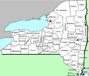
| County: |
Jefferson |
| Town: |
Ellisburg |
| USGS Map: |
Henderson |
| Waterway: |
Sandy Creek |
| Latitude: |
N 43°
45' 33" |
| Longitude: |
W 76°
09' 24" |
| Drop: |
NA |
| Type: |
NA |
| Region: |
Southwest of Adams |
| Parking: |
Roadside |
| Trail type: |
Roadside |
| Length of hike: |
Roadside |
| Difficulty: |
Easy |
| Accessibility: |
Private |
| Name: |
Unnamed |
|
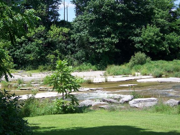
While we were trying to
locate the falls in Belleville, we were told that there was another
set of falls off the Allard Road which runs from Belleville to Woodville.
We found them just off the end of the Loomis Road a short distance
from Woodville.
The only picture we could get was of the very top of the falls.
We could see that there was more there but it was obscured by the
foliage from the road. There was a posted sign but it didn't
indicate who had it posted and we couldn't find anyone at the nearest
home to get permission. To honor the owner's signs, we didn't
proceed, even though it was probably less than 100 feet from us.
These falls are not indicated on maps. They are unnamed
and have no common local name. We have tentatively called
them this because there are three waterfalls that we know of on
the Sandy Creek and these are furthest downstream.
The Sandy Creek flows into Lake Ontario.
Last update: September 28, 2016
|