| Directions
From the village of Adams, proceed
west on NY 178. Follow the signs to Belleville on NY
289. In this hamlet, take a left. This waterfall
is upstream from the bridge.
|
| County: |
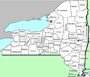
Jefferson |
| Town: |
Ellisburg |
| USGS Map: |
Adams |
| Waterway: |
Sandy Creek |
| Latitude: |
N 43°
47' 04" |
| Longitude: |
W 76°
06' 55" |
| Drop: |
NA |
| Type: |
NA |
| Region: |
Southwest of Adams |
| Parking: |
Roadside |
| Trail type: |
Roadside |
| Length of hike: |
Roadside |
| Difficulty: |
Easy |
| Accessibility: |
Unknown |
| Name: |
Charted/Unnamed |
|
There is a charted waterfall just upstream from the bridge in
Belleville. There is a very small drop just upstream of
the bridge but, on one visit, we found a young man, perhaps in
his late teens,
who told us that there is another about a quarter mile upstream.
It is only accessible by water or through private land and we
haven't been able to locate it yet. The falls
we are looking for are unnamed and have no common local name. We have tentatively
called them this because there are three waterfalls that we know
of on the Sandy Creek and these are between the upper and lower.
The Sandy Creek flows into Lake Ontario.
Last update: July 5, 2017
|


