| Directions
Head south on NY 12 from Watertown. Just before
the hamlet of Burrville, take a left on CR 67. The
first left is the Sandy Creek Valley Road. A
little over a mile up this road the falls can be seen on
the left in the spring or the fall. At other times
of the year, foliage will obscure it.
|
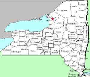
| County: |
Jefferson |
| Town: |
Watertown |
| USGS Map: |
Watertown |
| Waterway: |
Sandy Creek,
North Branch |
| Latitude: |
N 43°
54' 53" |
| Longitude: |
W 75°
53' 06" |
| Drop: |
50' |
| Type: |
NA |
| Region: |
South of
the city of Watertown |
| Parking: |
NA |
| Trail type: |
NA |
| Length of
hike: |
NA |
| Difficulty: |
NA |
| Accessibility: |
Private |
| Name: |
Unnamed |
|
A number of people have told us about this waterfall.
Unfortunately, we have not had a chance to visit the area at the
right time. Because of the foliage we have not been able
to view it.
The waterfall is unnamed as is the creek it
is on. We have indicated that it is on the North Branch of
the Sandy Creek because the creek it is on enters the Sandy
within sight of the falls. We have given it this name
because of the road you view it from.The North Branch flows into
Sandy Creek which in turn empties into Lake Ontario.
Last update: July 5, 2017
|


