| Directions
From the village of Adams, proceed
west on NY 178. Follow the signs to Belleville on NY
289. In this hamlet, take a left, cross the bridge
and take the first left on CR 82. This waterfall
is located a little less than two miles up this road.
|
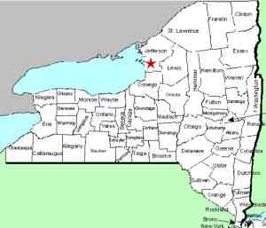
| County: |
Jefferson |
| Town: |
Ellisburg |
| USGS Map: |
Adams |
| Waterway: |
Sandy Creek |
| Latitude: |
N 43°
48' 06" |
| Longitude: |
W 76°
05' 52" |
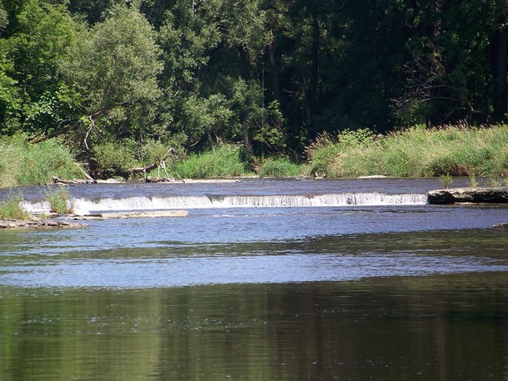
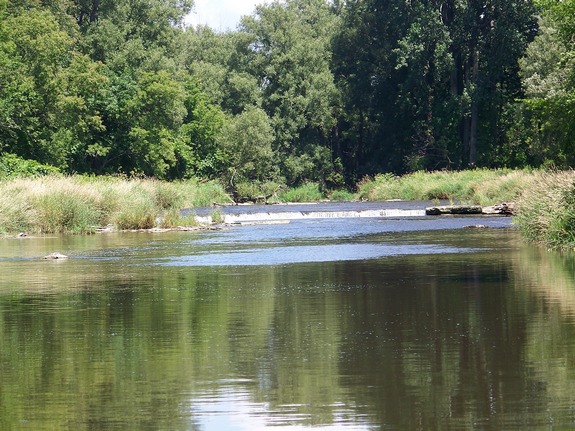
| Drop: |
~ 3' |
| Type: |
Curtain cascade |
| Region: |
Southwest of Adams |
| Parking: |
Roadside |
| Trail type: |
Dirt/river bank |
| Length of hike: |
10 minutes |
| Difficulty: |
Easy |
| Accessibility: |
Private |
| Name: |
Charted/Unnamed |
|
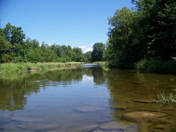
We knew we were in the
area of these falls so we stopped by a local home to see if we could
get more information on how to find it. A young man enjoying
his summer vacation from school offered to guide us to the falls.
Our thanks to Andrew for helping us out. Otherwise, these
falls are best found by canoe or kayak on the water. Noted simply as "falls" on these maps, they are technically
unnamed and have no common local name. We have tentatively
called them this because there are three waterfalls that we know
of on the Sandy Creek and these are the furthest upstream.
We have been told that during spring run-off, the flow is much more
impressive. It is somewhat interesting that these falls are
noted on topographical maps and yet many other falls in northern
New York that are much larger are not noted.
The Sandy Creek flows into Lake Ontario.
Last update: September 28, 2016
|