| Directions
On NY 3 just east of Redford, there is a dirt road
exiting to the south. This is about 0.4 mile west
of an abondoned bridge over the Saranac River in the
hamlet of Moffitsville. The dam and waterfall, as
well as a good sized parking area is at the end of it.
|
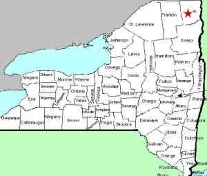
| County: |
Clinton |
| Town: |
Saranac |
| USGS Map: |
Moffitsville |
| Waterway: |
Saranac River |
| Latitude: |
N 44°
37' 39" |
| Longitude: |
W 73°
45' 39" |
| Drop: |
NA |
| Type: |
Dam/Rectangular
Cascade |
| Region: |
Off NY 3 between
Saranac and Redford |
| Parking: |
Unpaved
lot |
| Trail type: |
Dirt |
| Length of
hike: |
100' |
| Difficulty: |
Easy |
| Accessibility: |
Public |
| Name: |
Common |
|
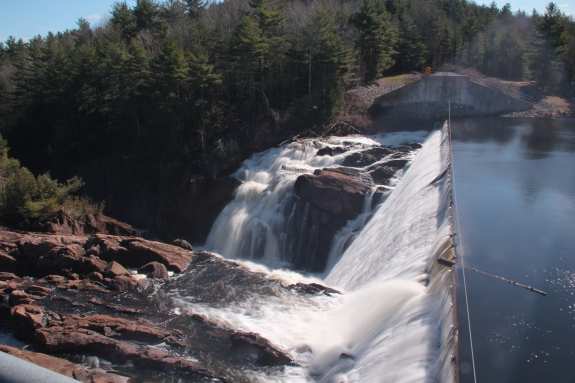
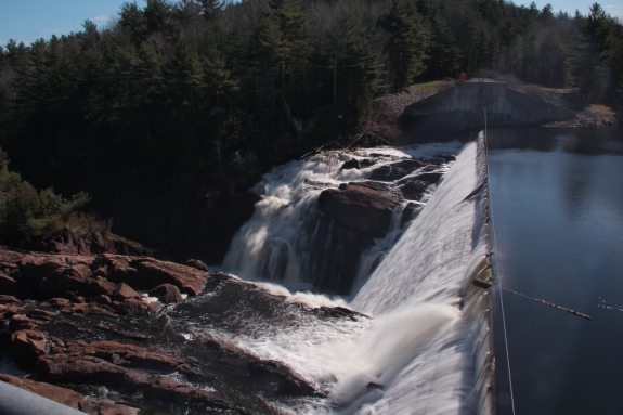
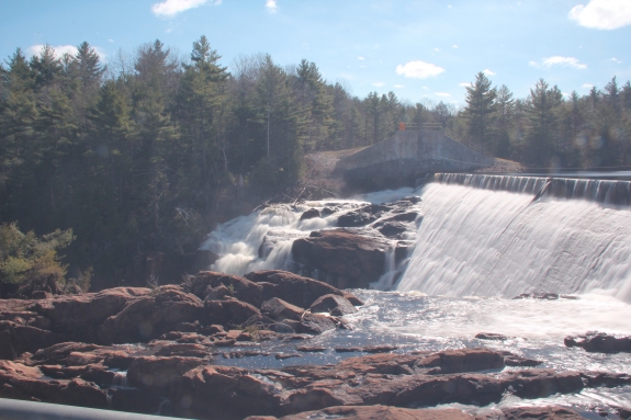
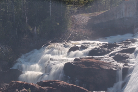
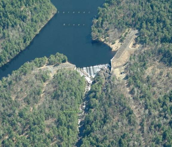
 There is still a fairly impressive waterfall below this dam.
Unfortunately, downstream photos from the land are not possible,
at least from safe or perhaps legal locations! It is
possible to get a high vantage point next to the crest of the
dam and get some fairly good pics. There is still a fairly impressive waterfall below this dam.
Unfortunately, downstream photos from the land are not possible,
at least from safe or perhaps legal locations! It is
possible to get a high vantage point next to the crest of the
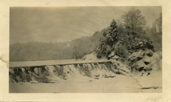
dam and get some fairly good pics.The first image in the last
row of our array is courtesy of Bing Maps. The last picture was
provided by Cindy Coffell of Killeen, Texas. Her family
lived in the central New York area. This was found among
some old family photos. On the back is handwritten "High
Falls Dam Feb 1924".
The Saranac River empties into Lake Champlain in the city of
Plattsburgh.
Last update: May 9, 2016
|