| Directions
From the village of Saratoga
Springs, drive north on NY 9. Approximately
3 miles from where 9 and 50 split (use discretion ...
we didn't take an accurate reading), the Parkhurst Road,
also Saratoga County Route 36, will be on your left.
About 1/4 mile up the hill, take a left on the Greenfield
Road. Another 4/10 mile up this hill and the Strakos
Road will come in on the right. Park near this
intersection.
|
|
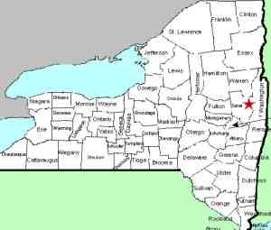
County: |
Saratoga |
|
Town: |
Wilton |
|
USGS Map: |
Corinth |
|
Waterway: |
Snook Kill |
|
Latitude: |
N 43° 09' 09" |
|
Longitude: |
W 73° 46' 24" |
|
Drop: |
55-60' |
|
Type: |
Ribbon Slide/Cascade |
|
Region: |
North of Saratoga Springs |
|
Parking: |
Road shoulder |
|
Trail type: |
Dirt |
|
Length of hike: |
200' |
|
Difficulty: |
Moderate |
|
Accessibility: |
Public |
|
Name: |
Common |
|
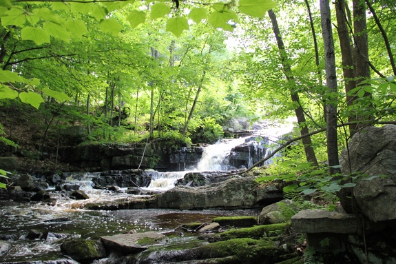
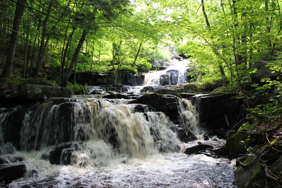
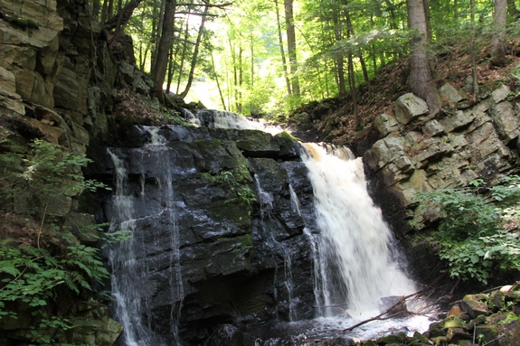
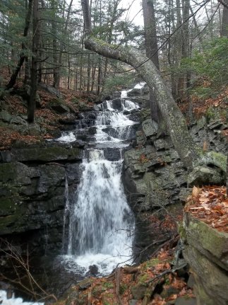
 This is a very nice waterfall. If you walk up the road
from the intersection to the bridge, you can view it from above.
To see the falls from below, walk down the hill from the intersection.
There are two yellow signs with arrow warning of the curve, one
in each direction. The trail leading to
the stream's edge is directly across from the more downhill of
these two arrows. It is a bit of a scramble to the bank because
the trail is not maintained, but worth the trip. The upper
part of these falls go through several drops or slides before a
final plunge of 20' or so. This is a very nice waterfall. If you walk up the road
from the intersection to the bridge, you can view it from above.
To see the falls from below, walk down the hill from the intersection.
There are two yellow signs with arrow warning of the curve, one
in each direction. The trail leading to
the stream's edge is directly across from the more downhill of
these two arrows. It is a bit of a scramble to the bank because
the trail is not maintained, but worth the trip. The upper
part of these falls go through several drops or slides before a
final plunge of 20' or so.
There is a bit of history to this area. Just down the hill
from the intersection where you parked, there is a historical marker
identifying the "Battle of Wilton".
The Snook Kill empties in the Hudson River, which flows into
the Atlantic Ocean.
Last update: August 26, 2017
|