| Directions
From the village of Indian Lake, take NY 30 south for
about 3.4 miles. You will cross a bridge at this point.
These falls are under the bridge on the lake side of the
highway.
|
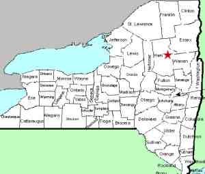
| County: |
Hamilton |
| Town: |
Indian Lake |
| USGS Map: |
Indian Lake |
| Waterway: |
Squaw Brook |
| Latitude: |
N 43°
44' 27" |
| Longitude: |
W 74°
17' 43" |
| Drop: |
~10' |
| Type: |
Ribbon cascade |
| Region: |
NY
30 south of the hamlet of Indian Lake |
| Parking: |
Roadside |
| Trail
type: |
Dirt |
| Length
of hike: |
200
feet/2 minutes |
| Difficulty: |
Easy |
| Accessibility: |
Public |
| Name: |
Common |
|
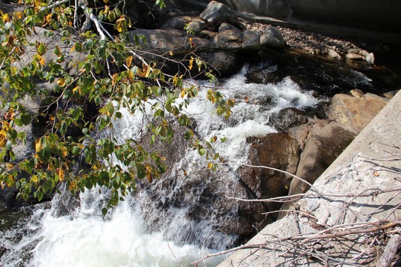
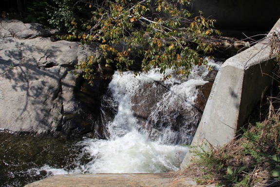
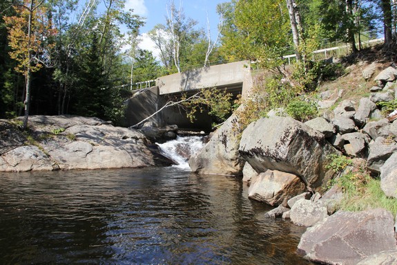
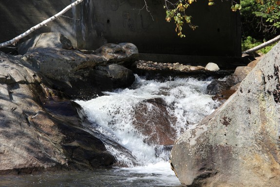
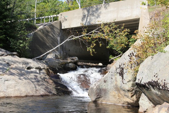
The falls can be seen from above on the bridge, but you will
want to descend to the lake level to get a better view. As
you face the lake from the bridge, the land on your right is posted.
The left side, however is not. There is no path per se, but
you should be able to find several ways down. The easiest
is to walk north until the guard rails ends. Walk perpendicular
to the road and there is a nice easy path to the water.
The falls themselves are quite small, as is the brook they are
on, but there are a couple of very interesting features about this
location. First of all, most waterfalls are found on a river
or stream somewhere upstream of its outlet. Very few waterfalls
fall directly into a lake or pond that is its outlet. This
one does. Squaw Brook Falls falls into a bay on Indian Lake,
which is a good sized Adirondack Lake. A second interesting
note is that these falls are for the most part directly under a
bridge. Perhaps thousands of vehicles pass over this bridge
without the occupants ever realizing that there is actually a waterfall
under them. Certainly, many people go over it numerous times
without learning of its existence.
The Squaw Brook enters Indian Lake. The stretch from here
to Lake Abanakee is the beginning of the Indian River. This
Indian River, not to be confused with the Indian River in Jefferson
County further to the northwest, feeds the Hudson River. The
water from here eventually makes its way to the Atlantic Ocean.
Last update: September 30, 2016
|