| Directions
From the intersection of NY 3 and NY 58 in Fine,
drive up 58 into the hamlet. Take a right on CR 27
and then a left on the Folsom Road. This location
is off the end of this dead-end road.
|
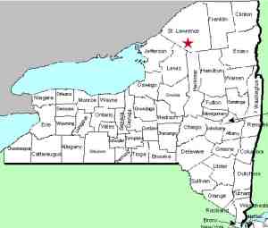
| County: |
St. Lawrence |
| Town: |
Fine |
| USGS Map: |
South Edwards |
| Waterway: |
Stammer Creek |
| Latitude: |
N 44°
18' 44" |
| Longitude: |
W 75° 08' 53" |
| Drop: |
55' ... est. |
| Type: |
Slide step |
| Region: |
Southeast of Edwards |
| Parking: |
Roadside |
| Trail type: |
Dirt |
| Length of hike: |
NA |
| Difficulty: |
NA |
| Accessibility: |
Private |
| Name: |
Unnamed |
|
This waterfall is on private property and is not accessible
without permission from the landowner. Information we have
obtained on it indicates that it drops about 55 feet over a span
of this creek. The water from Stammer
Creek flows into the Oswegatchie River just southeast of the
village of Edwards. The Oswegatchie River joins the
St. Lawrence River in Ogdensburg
Last update: January 18, 2017
|


