| Directions
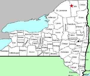
About 14 miles south of Malone on NY 30, in the hamlet
of Duane, CR 14 intersects. A little more than seven
miles west of here, you will come to a canoe access parking
area on the right. Just beyond that there is a seasonally
maintained access road on the right. Park on the roadside
near there.
|
| County: |
Franklin |
| Town: |
Santa Clara |
| USGS Map: |
Santa Clara |
| Waterway: |
St. Regis River
East Branch |
| Latitude: |
N 44° 40'
22" |
| Longitude: |
W 74° 25'
39" |
| Drop: |
18' |
| Type: |
Curtain cascade |
| Region: |
CR 14 between
St. Regis Falls and Duane |
| Parking: |
Roadside |
| Trail type: |
Dirt |
| Length of hike: |
0.1 mile/2 minutes |
| Difficulty: |
Easy |
| Accessibility: |
Public |
| Name: |
Common |
|
 Although
you can see the falls from the road, directly across from this seasonal
access road, there is a trailhead which leads to the crest of the
waterfall. From there you can make your way down the shore
without a lot of effort for down-river views. There are also
other routes from a hundred or so feet past this road which leads
to an area a little further downstream, but these aren't clearly
defined trails. Although
you can see the falls from the road, directly across from this seasonal
access road, there is a trailhead which leads to the crest of the
waterfall. From there you can make your way down the shore
without a lot of effort for down-river views. There are also
other routes from a hundred or so feet past this road which leads
to an area a little further downstream, but these aren't clearly
defined trails.
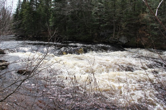
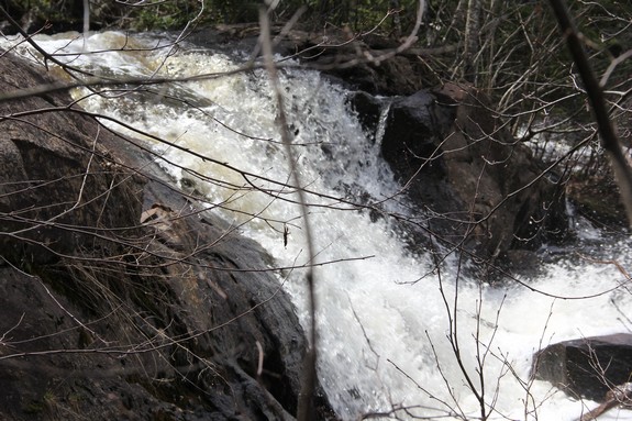
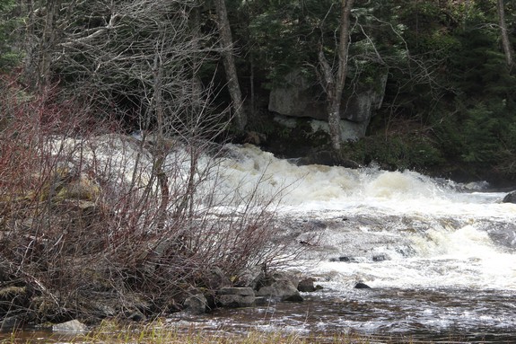
Above the main falls, there is a section of rapids that starts
with about a three foot plunge.
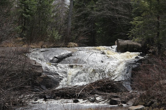
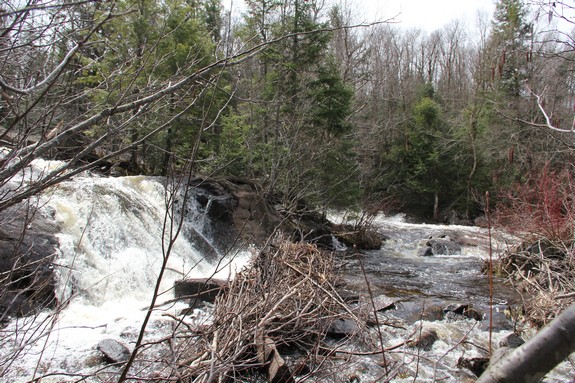
The main waterfall is two drops on either side of a small island
in the middle of the river. This island contains a half-dozen
pine trees and a couple of hardwoods. The channel on the near
side is ten to twelve feet wide dropping in two or three steps.
on the other side of the island, the channel is quite a bit wider,
probably forty feet and is a single plunge.
The St. Regis River flows north into Canada and then empties
into the St. Lawrence River a short distance downstream from the
New York/Quebec border.
Last update: April 26, 2017
|