| Directions
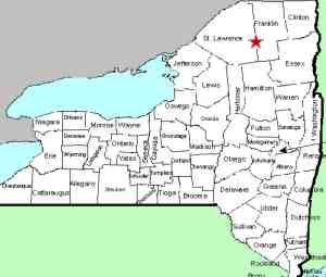
This waterfall is in a fairly remote area of St.
Lawrence
County that is not accessible to the public.
|
| County: |
St.
Lawrence |
| Town: |
Hopkinton |
| USGS Map: |
Augerhole
Falls |
| Waterway: |
St. Regis
River West Branch |
| Latitude: |
N 44o
28' 01" |
| Longitude: |
W 74o
37' 22" |
| Drop: |
NA |
| Type: |
Multiple
drops |
| Region: |
Southeast
of Parishville |
| Parking: |
Not
publicly accessible |
| Trail type: |
Not
publicly accessible |
| Length of
hike: |
Not
publicly accessible |
| Difficulty: |
Not
publicly accessible |
| Accessibility: |
Private |
| Name: |
Official |
|
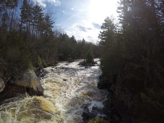
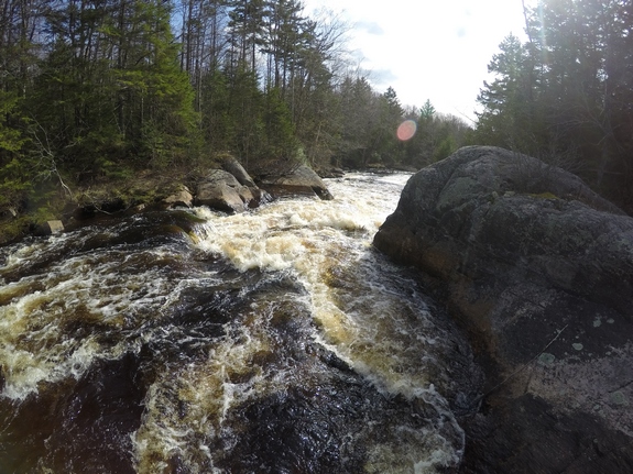
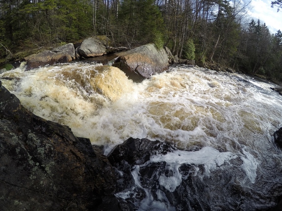
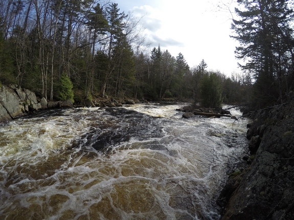
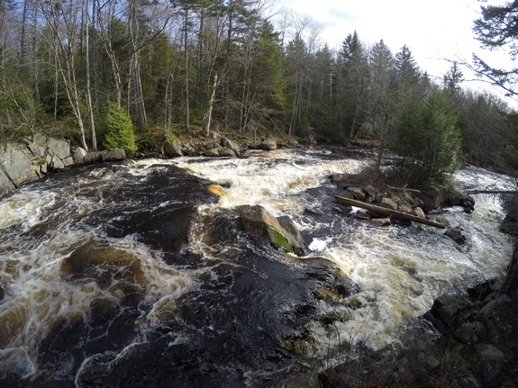
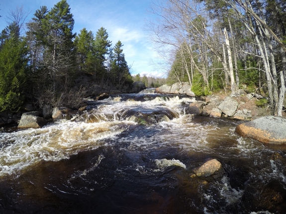
This waterfall is officially
named. It is in a fairly remote location
and is surrounded by private land. It is not accessible to
the public. Our photos were sent to us by an anonymous
contributor who has access to the area.
This waterfall
appears to have several drops, including a couple of block style
falls, some rapids and perhaps even a small flume.The West Branch joins the St. Regis River in the hamlet of Winthrop.
This flows into the St. Lawrence River almost on the US/Canada border
a few miles northeast of Massena, New York.
Last update: January 1, 2018
|