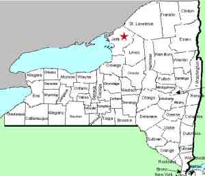
| Directions
From US 11 north of Watertown
at Evans Mills, turn on Leray Street (CR 46) and
enter the village. Take a right on Main Street,
which is the second right on Leray Street after
leaving Route 11. The first left after leaving
the village limits is the Elm Ridge Road.
The first right on this road is the Anstead Road.
These falls are located off the Elm Ridge Road,
just past the corner of the Anstead Road.
|
| County: |
Jefferson |
| Town: |
Le Ray |
| USGS Map: |
Black River |
| Waterway: |
Trout Brook |
| Latitude: |
N 44°
06' 36" |
| Longitude: |
W 75°
46' 57" |
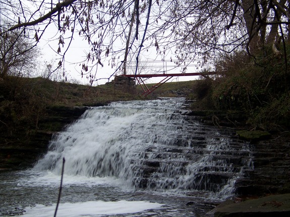
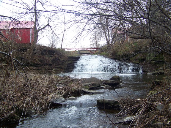
| Drop: |
~ 20' |
| Type: |
Classical
cascade |
| Region: |
North of Watertown |
| Parking: |
Roadside |
| Trail type: |
Roadside |
| Length of
hike: |
Roadside |
| Difficulty: |
Easy |
| Accessibility: |
Private, roadside
view |
| Name: |
Unnamed |
|
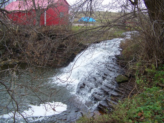
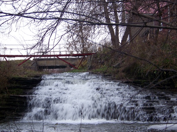
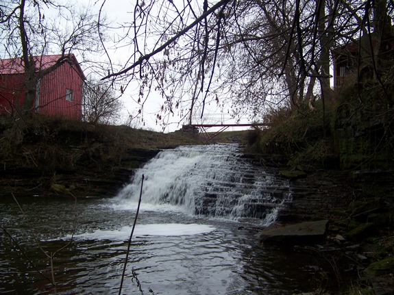
Another one of the
hundreds of falls in northern New York that are unnamed, this
small waterfall is located just north of the village of Evans
Mills. These falls are on private land so please respect
the landowner's rights. We found him to be very cordial
when we approached him and he graciously allowed us access to
take these photos.
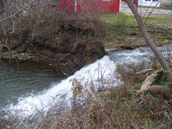
These falls are within sight of the road and a very short
distance upstream from where the Trout Brook enters the Indian
River.
The Trout Brook flows into the Indian River a few feet downstream
from these falls. That continues through Black Lake and
then empties into the Oswegatchie River just a few miles upstream
from where the Oswegatchie enters the St. Lawrence River.
Last update: October 11, 2016
|