| Directions
North of Utica on NY 12, there is a point
at which NY 12 and NY 28 begin to run concurrently.
At that corner, head south on NY 28. You will actually
be heading east at that point. The first left is Trenton
Falls Road. Follow signs to a four-way stop where
you should continue to the end of the road where you can
park.
|
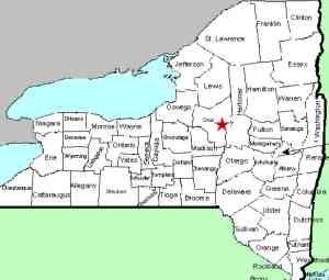
| County: |
Oneida/Herkimer |
| Town: |
Trenton/Russia |
| USGS Map: |
Remsen |
| Waterway: |
West Canada
Creek |
| Latitude: |
N 43°
16' 19" |
| Longitude: |
W 75°
09' 32" |
| Drop: |
60' |
| Type: |
Dam |
| Region: |
North of Utica |
| Parking: |
Parking area |
| Trail type: |
Crushed stone/wood
chip paths |
| Length of
hike: |
1 - 1.5 hours |
| Difficulty: |
Moderate |
| Accessibility: |
Public |
| Name: |
Common |
|
The Trenton Falls Scenic Trail contains a number of waterfalls
and dams. We would ask you to refer to our Trenton
Falls page for general information about the area. Also note that it is only
open on a limited basis. The Town of Trenton website should
be consulted to find those dates. The 60' tall Morgan Dam is the furthest downstream, but is actually below where the walking tour begins.
The West Canada Creek empties into the Mohawk River, which then
flows into the Hudson before reaching the Atlantic Ocean.
Last update: June 29, 2016
|


