| Directions
From I-87, exit 29, or US 9
at North Hudson, proceed west on CR 84 toward
Newcomb. The entrance to Elk Lake Lodge marks
the beginning of a five-mile long private road.
|
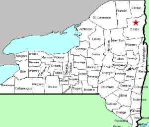
| County: |
Essex |
| Town: |
North Hudson |
| USGS Map: |
Mt Marcy |
| Waterway: |
West Inlet |
| Latitude: |
N 44°
04' 39" |
| Longitude: |
W 73°
49' 56" |
| Drop: |
NA |
| Width: |
NA |
| Region: |
NA |
| Parking: |
NA |
| Trail type: |
NA |
| Length of
hike: |
NA |
| Difficulty: |
NA |
| Accessibility: |
Unknown |
| Name: |
Official |
|
This is a spectacular drop of
over 100 feet, but all approaches are on the private property of
Elk Lake Lodge. Lodge guests, however, can boat to Wagon Wheel
Landing from which it is just over 2 mi. of easy walking to the
base of the falls.
It is interesting that this is an
officially named waterfall, but since the USGS data base is
listed in order of latitude when searched by county, we couldn't
determine if its alphabetical order was by "T" or by "F"!
We have listed it on our alphabetical list under the letter F. If anyone has any pictures of this waterfall, we would be very
interested in
hearing from
you.
The West Inlet is a small stream that flows into Elk Lake.
From there, the water follows a river known as The Branch into the
Schroon River, which flows into the Hudson. This, in turn,
empties into the Atlantic Ocean in New York City.
Last udpate: October 12, 2016
|


