| Directions
Located on NYS Route 73, this site is just south of the
hamlet of Saint Huberts, which is on the stretch between
the village of Keene Valley and the northern intersection
of routes 73 and 9. Look for the signs for the Giant
Mountain Wilderness Area. The parking area for AMR
is directly across the road.
|
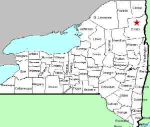
| County: |
Essex |
| Town: |
Keene |
| USGS Map: |
Keene Valley |
| Waterway: |
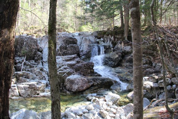
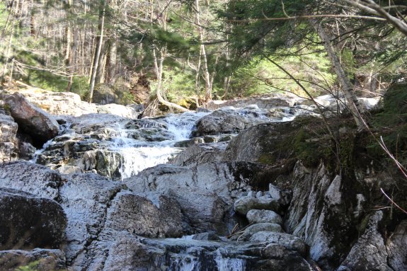
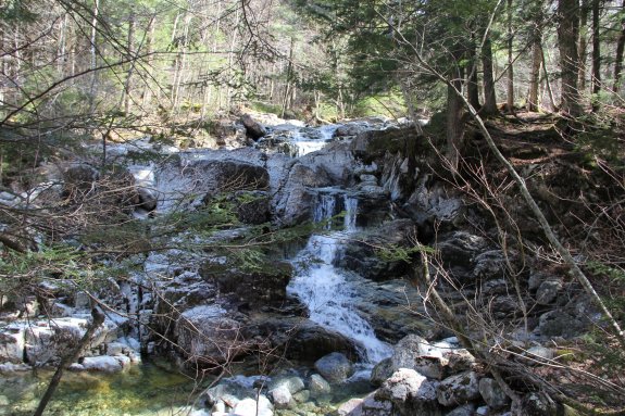
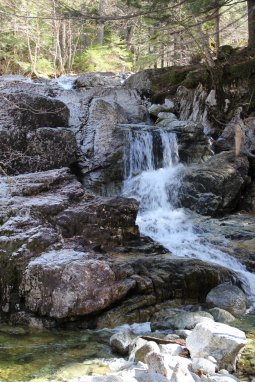
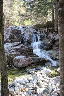
Gill Brook |
| Latitude: |
N 44° 07' 37" |
| Longitude: |
W 73° 48' 32" |
| Drop: |
20' |
| Type: |
Step |
| Region: |
Off NY 73 near the hamlet of St. Huberts |
| Parking: |
Unpaved lot |
| Trail type: |
Dirt/rock |
| Length of hike: |
About 2.9 miles, one way |
| Difficulty: |
Moderate |
| Accessibility: |
Access by easement |
| Name: |
Official |
|
First and foremost, this waterfall is located within the
Adirondack Mountain Reserve and, as such, is on private
property.
Access to it has been allowed by an easement agreement. It
has come to our attention that the owners of this land are
becoming increasingly annoyed by those who show up with
inadequate information trying to access it. It should be
noted that the listings for all of the locations within the AMR
have been on this website for well over ten years. We have
clearly stated the status of the locations here, including many
of the restrictions and conditions for access. In an
effort to reduce the increasing friction between the owners and
the public hikers, we are urging people to refer to our page for the general information on
The Adirondack
Mountain Reserve. It is one click and will only
take a minute or so to read, but it may save a significant
amount of grief to everyone involved.
From the guard shack at the AMR, take the Lake Road until reaching
the Gill Brook Trail, approximately 1-3/4 miles. From there,
it is about 0.4 hike up the trail.
The Gill Brook empties into the East Branch of the Ausable River
not far downstream from here. The east branch joins forces
with the west branch at Au Sable Forks to form the Ausable River,
which empties into Lake Champlain in the town of Peru.
Last update: May 29, 2020
|