| Directions
On NY 3 between Tupper Lake and Saranac
Lake, just east of Panther Mountain and just south of
Upper Saranac Lake, the Coreys Road will exit to the
south. Follow this for about 3 miles. Park
in the parking lot on the right, about 0.2 mile after
crossing Stoney Creek.
|
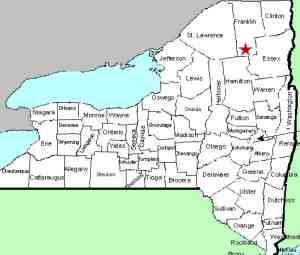
| County: |
Franklin |
| Town: |
Harrietstown |
| USGS Map: |
Tupper Lake |
| Waterway: |
Raquette River |
| Latitude: |
N 44°
08' 48" |
| Longitude: |
W 74°
19' 20" |
| Drop: |
6' |
| Type: |
Slide |
| Region: |
East of Tupper
Lake |
| Parking: |
Unpaved lot |
| Trail type: |
Dirt |
| Length of
hike: |
4.2 miles
one-way |
| Difficulty: |
Moderate |
| Accessibility: |
Public |
| Name: |
Official |
|
Since this is the same
access as Raquette Falls and
Upper Falls, we are posting some of
the common info here.
The trailhead is at the right, rear of the parking lot, behind
the registration kiosk. Make sure you wear waterproof hiking
boots and bring along your hiking stick. We were there on
June 7 and the trail was still quite damp even though it had not
rained in some time. There was also a stretch of about 30'
or so where the trail was completely under water. There was
no way to get past that section without wading through. Perhaps
later in the year things will have dried out, but earlier, the effects
of winter snow melt are still present. It would also be wise
to bring the bug spray. Even though signs in the parking area
indicate that there is no camping, there is an overabundance of
Camping Mosquitoes. They are intense!
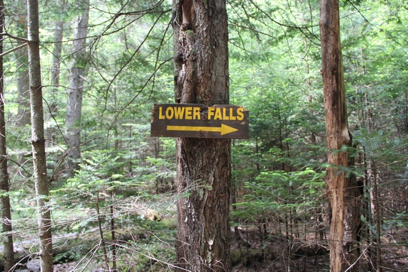
The trail is well marked with signs. Just beyond four miles,
you will come to a clearing with a barn type structure at the left.
There is a ranger residence behind it. Continue on the trail
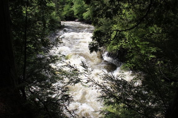
and you will come to a sign pointing the way to the Lower Falls.
Head to the river and you will find this first waterfall.
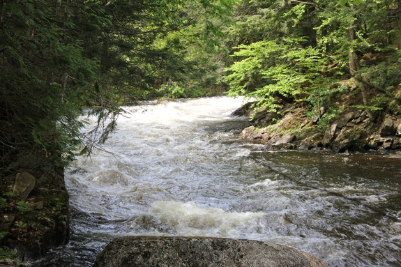
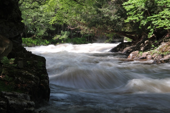
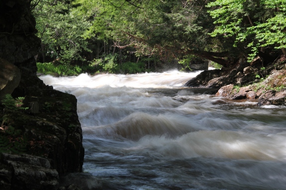
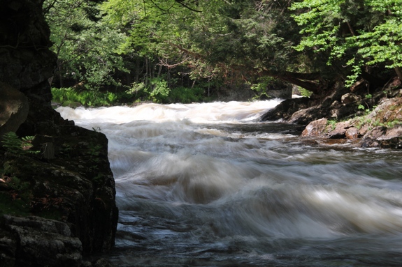
We have indicated this to be of moderate difficulty. The
hike itself isn't that bad, albeit somewhat lengthy. Lower
Falls is for the most part a slide waterfall, more akin to being
rapids. The drop begins as the river bends right and then
an immediate left through an "s" in the river.
The Raquette River empties into the St. Lawrence River in Massena,
New York.
Last update: July 28, 2016
|