| Directions
On NY 3 between Tupper Lake and Saranac
Lake, just east of Panther Mountain and just south of
Upper Saranac Lake, the Coreys Road will exit to the
south. Follow this for about 3 miles. About
0.2 mile after crossing Stoney Creek there is a parking
lot. The trailhead is at the back of the parking
lot, behind the registration kiosk.
|
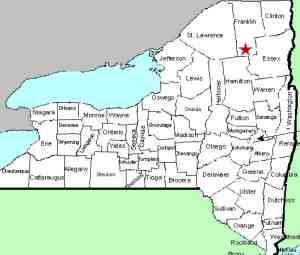
| County: |
Franklin |
| Town: |
Harrietstown |
| USGS Map: |
Tupper Lake |
| Waterway: |
Raquette River |
| Latitude: |
N 44o
08' 42" |
| Longitude: |
W 74o
19' 27" |
| Drop: |
10' |
| Type: |
Curtain cascade |
| Region: |
Between Tupper
Lake and Saranac Lake |
| Parking: |
Unpaved lot |
| Trail type: |
Dirt |
| Length of
hike: |
4.3 miles,
one-way |
| Difficulty: |
Moderate |
| Accessibility: |
Public |
| Name: |
Official |
|
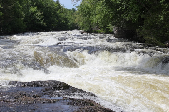
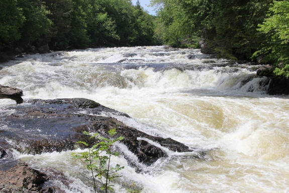
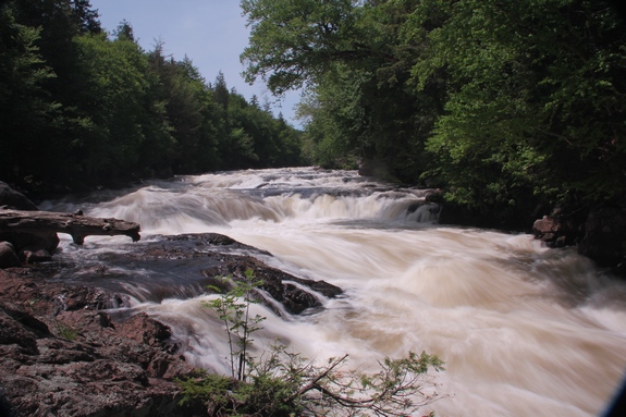
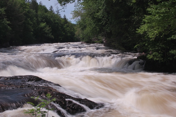
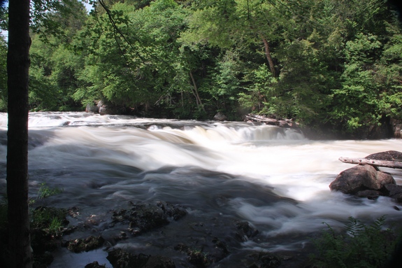
This is the second of
three waterfalls along this stretch of the Raquette River.
Due to the length of the hike, it would stand to reason that you
will visit this one after
Lower Falls.
Please refer to that page for common information. Simply continue
on the trail along the river for about another 0.1 mile to get here.
Raquette Falls is a two part drop. Rapids above reach the
first drop of about two feet. About 20' further downstream,
there is a horseshoe drop of another six feet.
The Raquette River empties into the St. Lawrence River in Massena,
New York.
Last update: August 25, 2016
|